Expert Utility Locating & GPR Scanning Services in Kansas
Expert Private Utility Locating, Utility Marking, GPR Scanning, Concrete Scanning, Underground Utility Mapping, and GPS/GIS Mapping Services Across Kansas
ABOUT US
Reliable
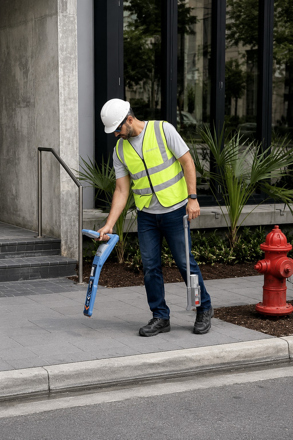
At Utility Mapping & Locating in Kansas, we specialize in providing accurate, reliable, and professional subsurface utility services for residential, commercial, and municipal projects across the state. Our mission is to help contractors, engineers, and property owners build with confidence by delivering precise underground data that prevents costly damages and project delays.
With a team of experienced technicians and advanced technology, we offer a full range of services including private utility locating, GPR scanning, underground utility mapping, concrete scanning, utility marking, and GPS/GIS mapping. We are committed to safety, accuracy, and efficiency on every project—no matter the size or complexity.
We understand how critical it is to know what lies beneath before you dig. That’s why we prioritize clear communication, fast turnaround times, and detailed reporting to ensure you have the right information, exactly when you need it. At our core, we’re not just locating utilities—we’re helping you avoid risks, protect infrastructure, and keep your projects moving smoothly.
Our Services
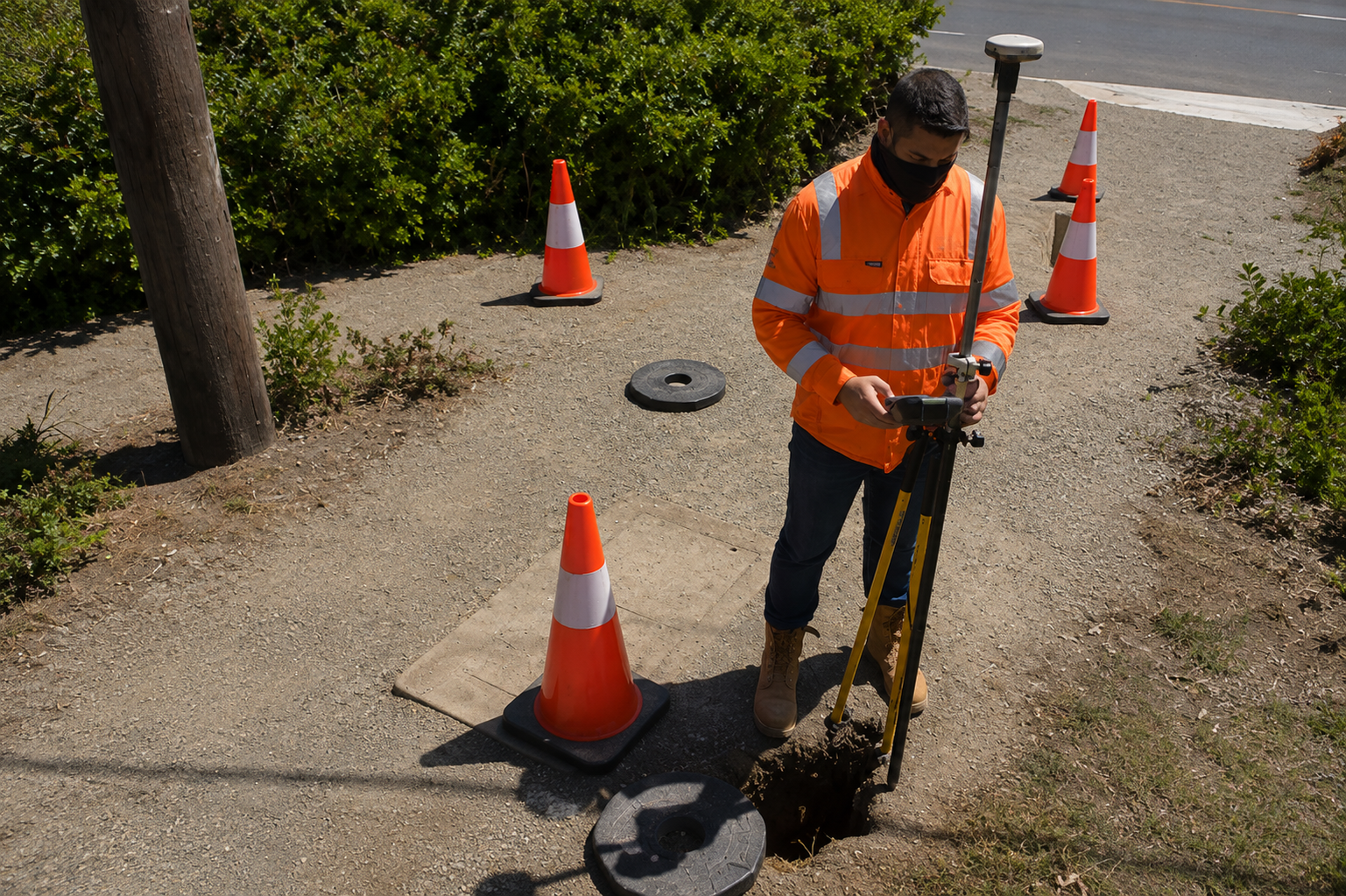
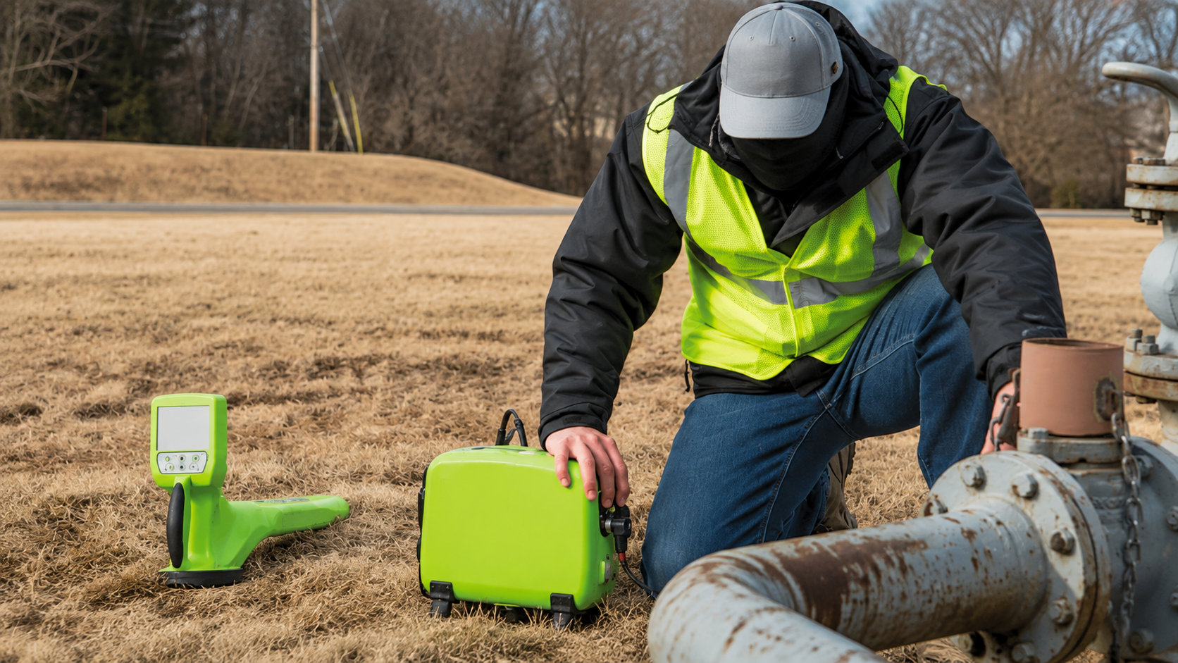
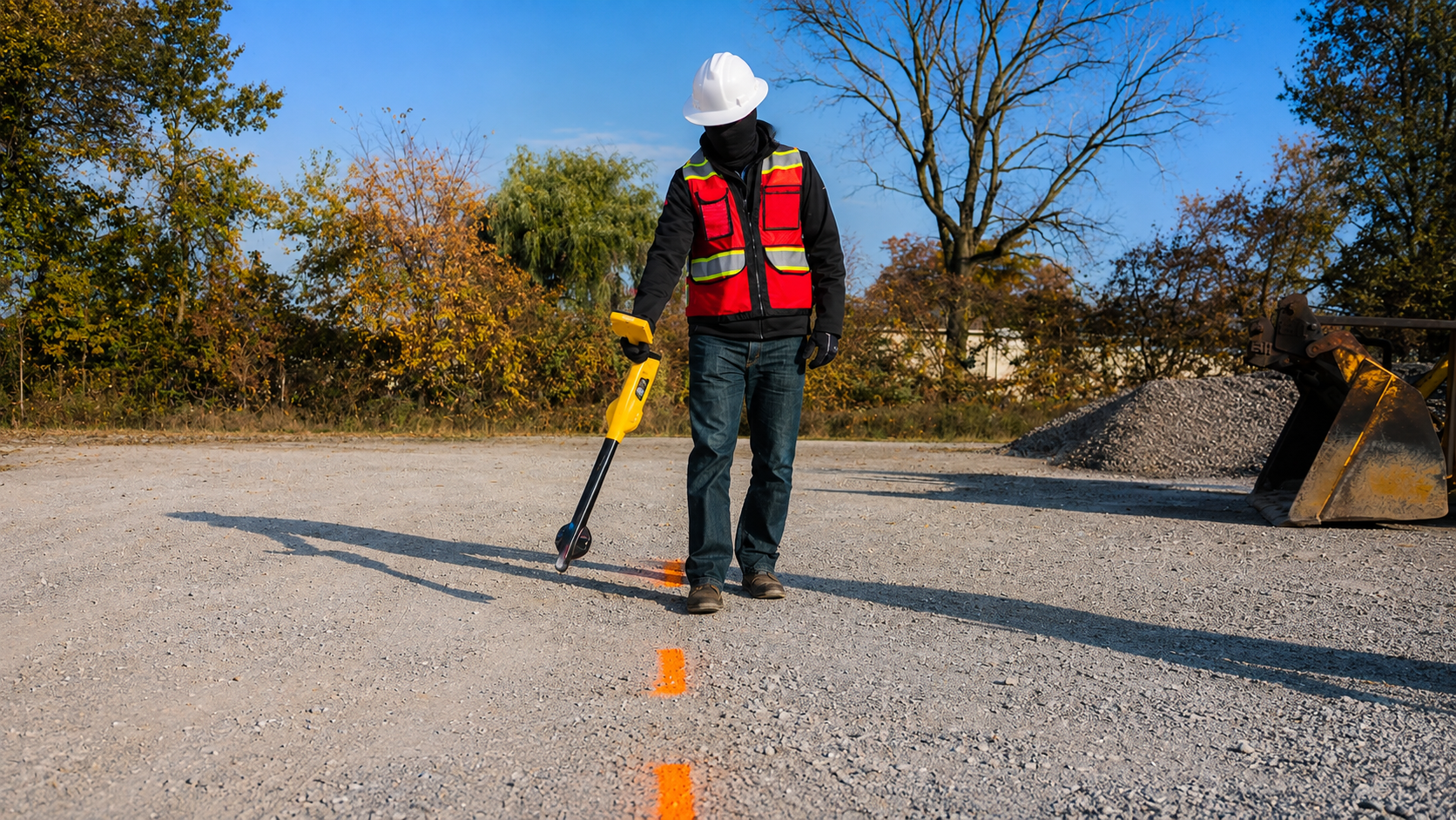
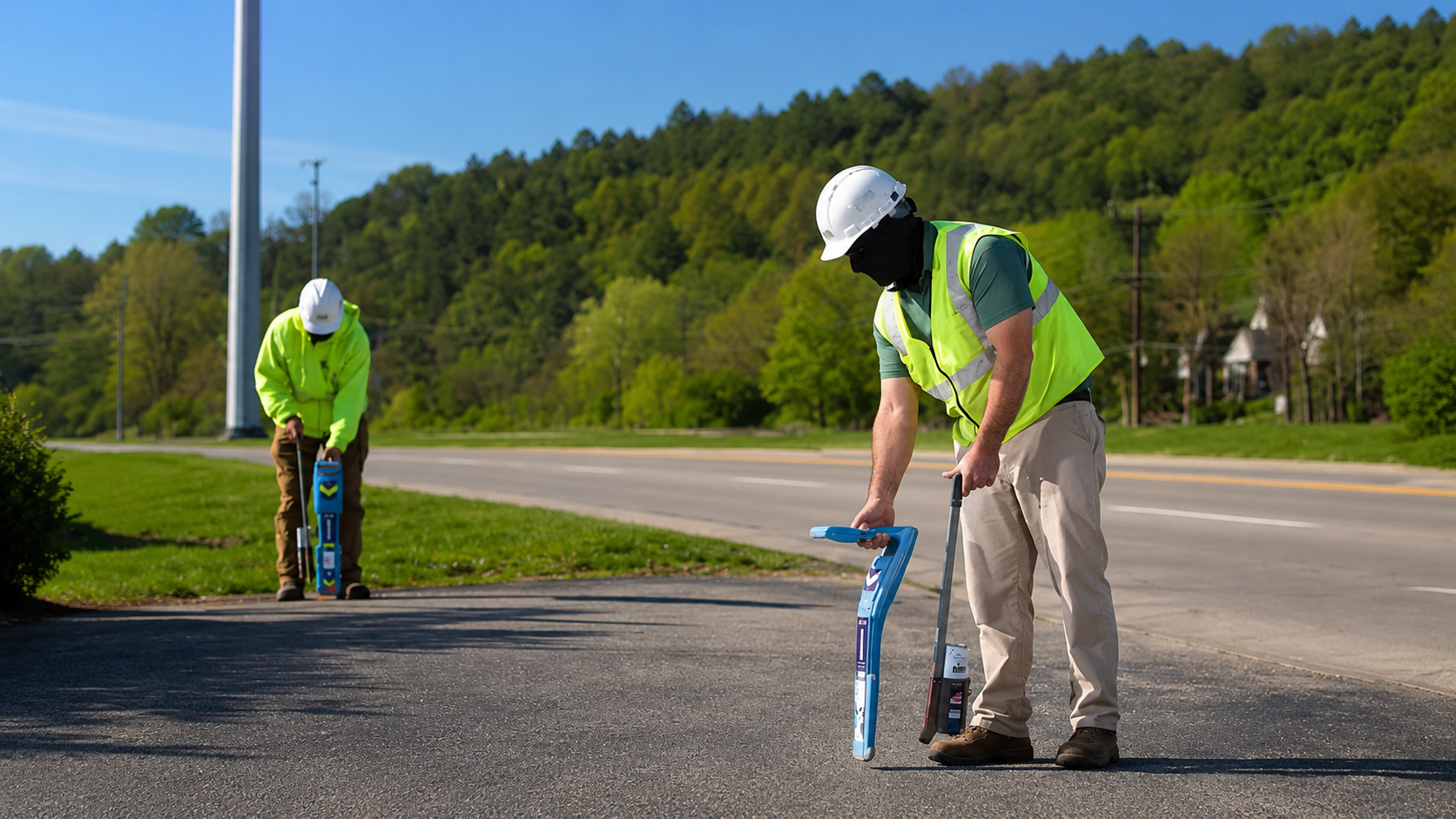
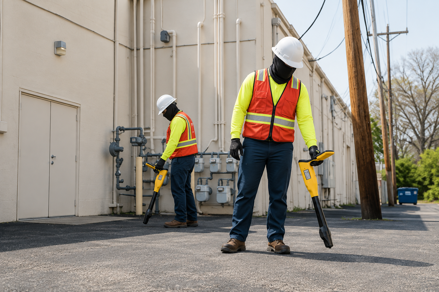
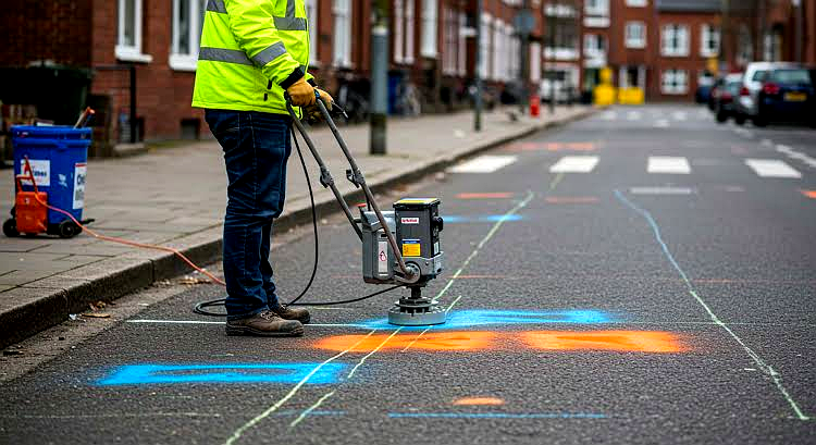
Accurate private utility locating services to detect underground lines, ensuring safety, preventing damage, and supporting smooth excavation projects.
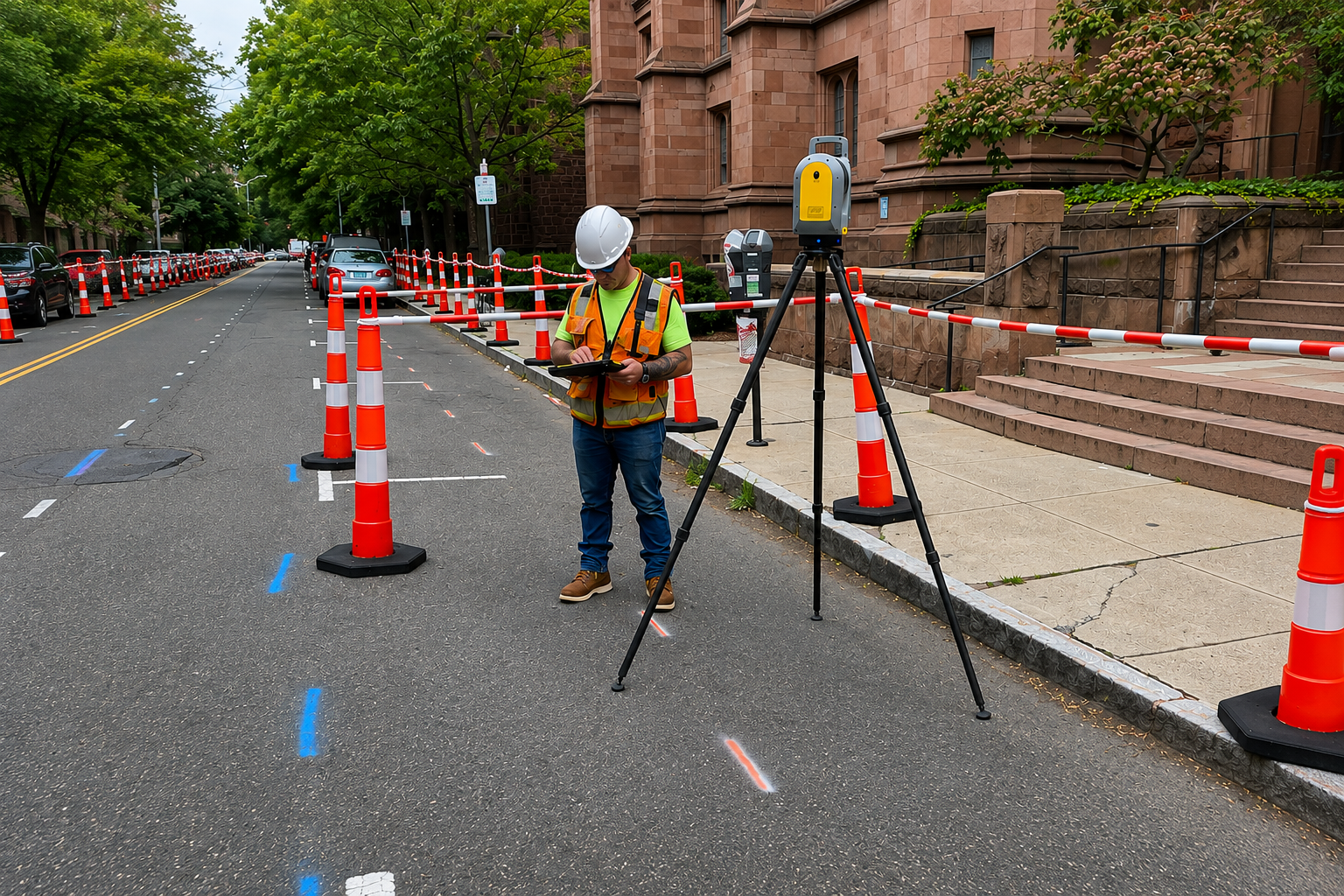
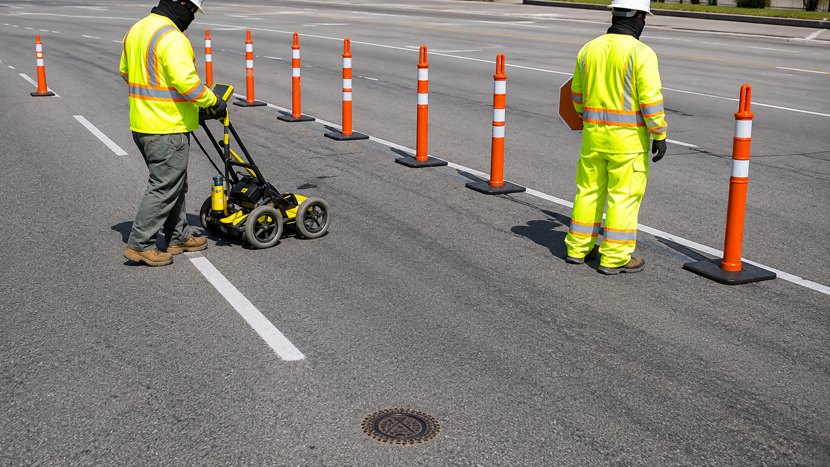
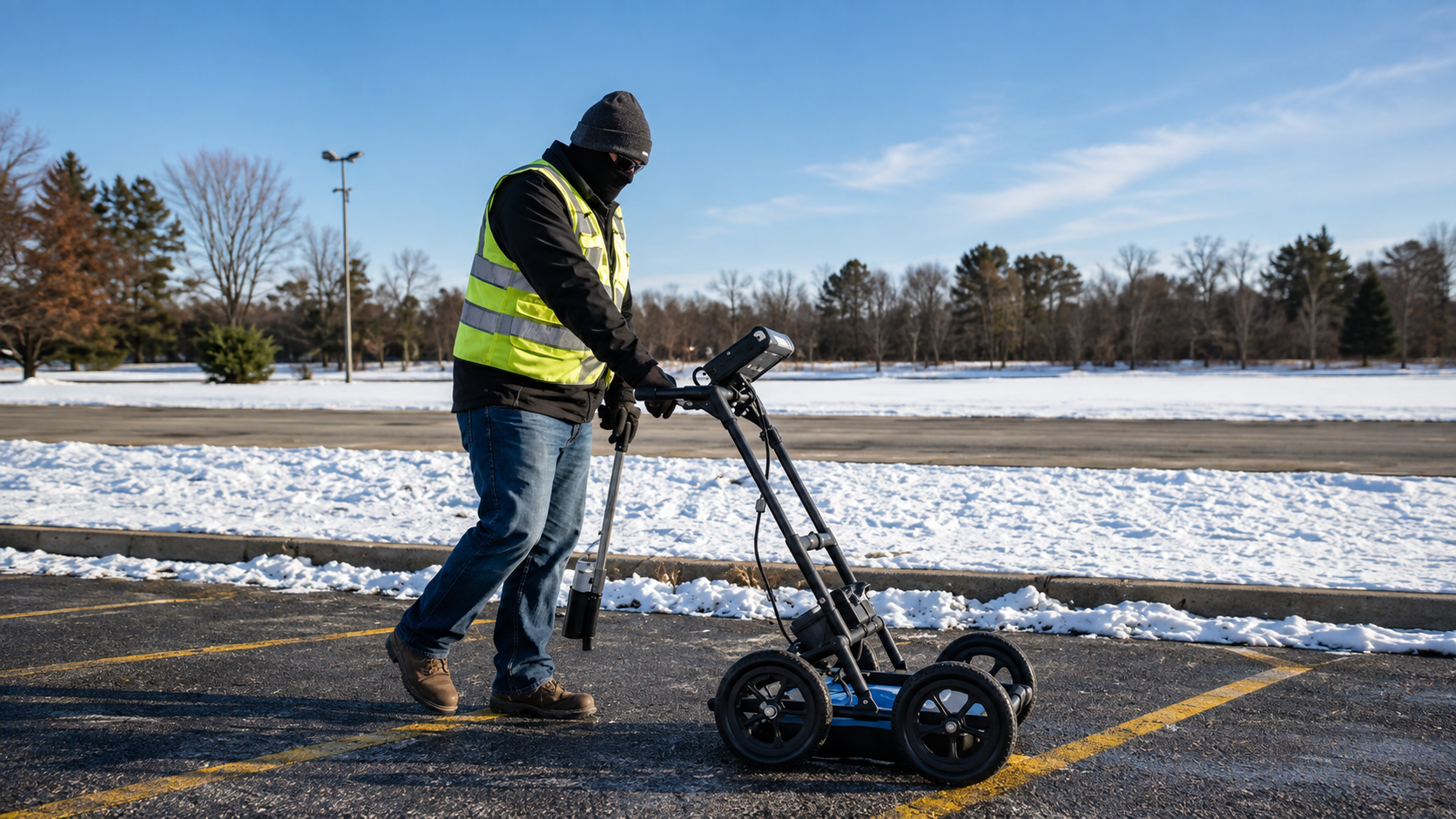
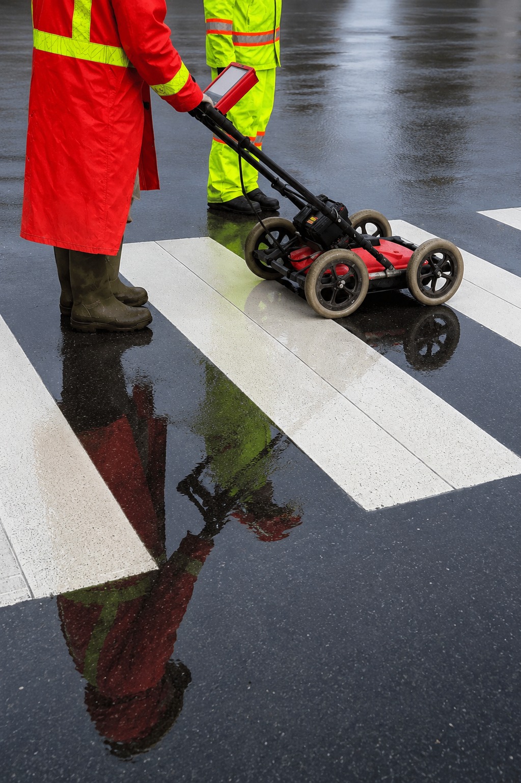
Advanced GPR scanning to locate hidden objects, utilities, and voids with high accuracy, ensuring safe drilling and cutting operations.
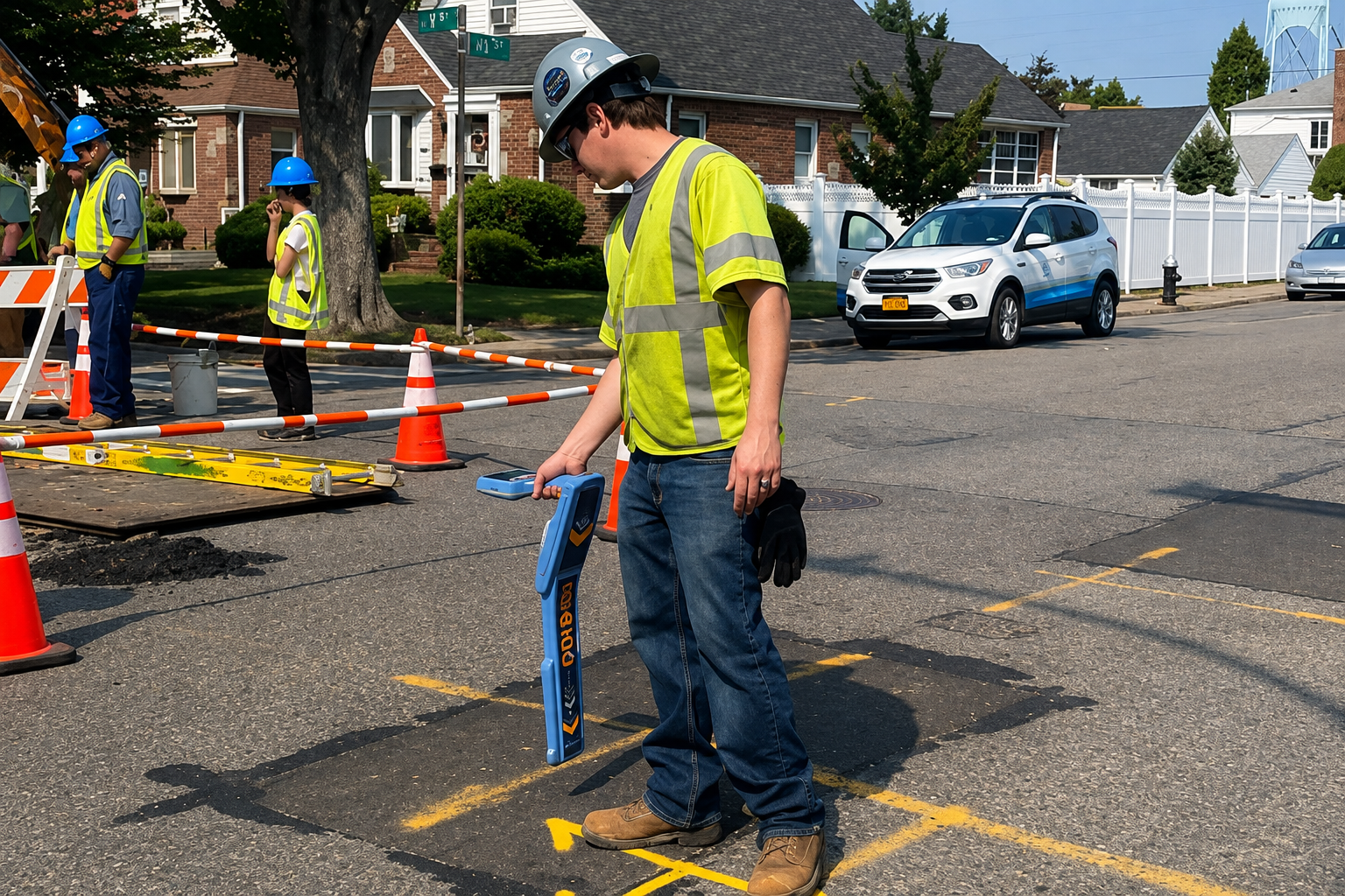
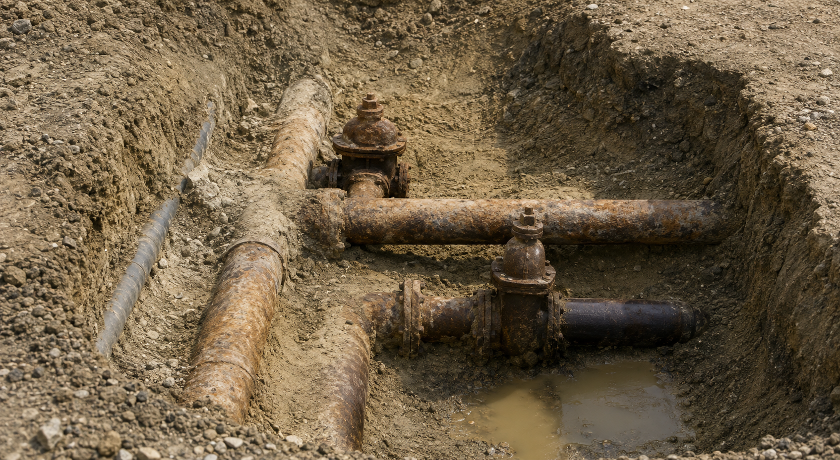
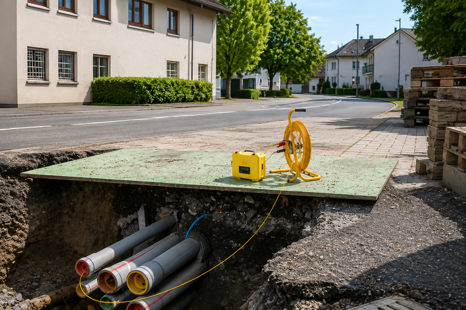
Detailed utility mapping services providing precise underground data to improve planning, reduce risks, and support efficient project execution.
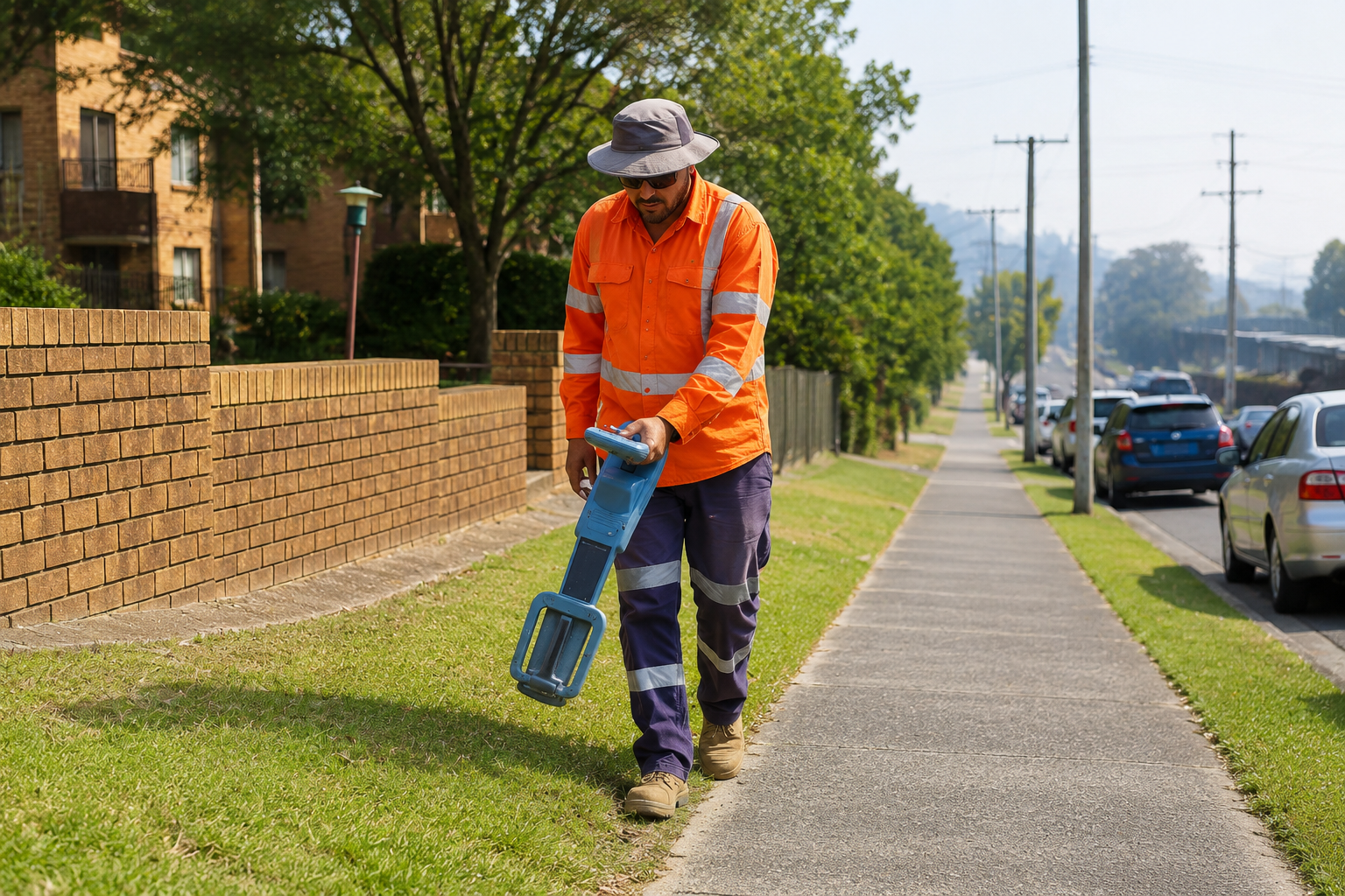
Professional concrete scanning to detect rebar, cables, and voids, ensuring safe cutting, drilling, and preventing costly structural damage.
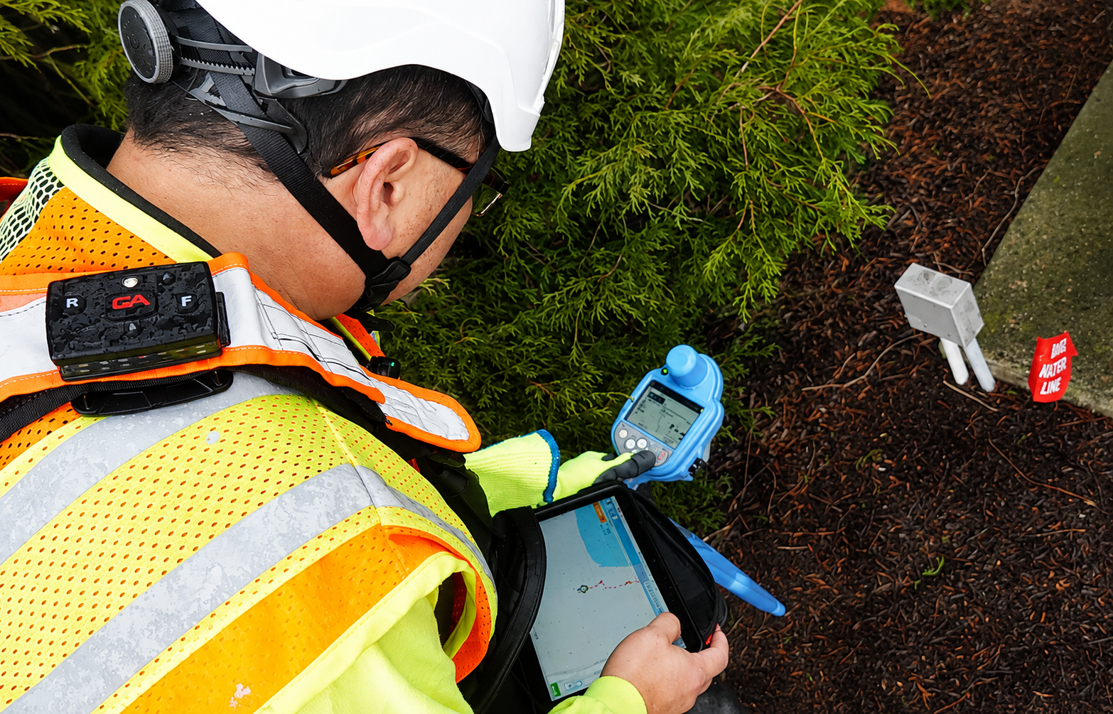
Reliable utility marking & layout services to clearly identify underground lines, improving site safety and reducing risks during excavation work.
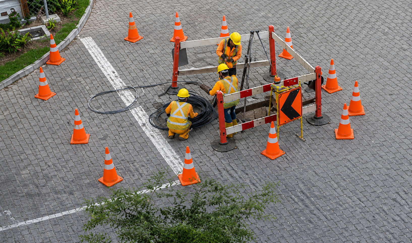
High-precision GPS & GIS mapping for accurate utility data collection, helping with asset management, planning, and long-term infrastructure safety.
The Process
Our Simple 3 Step Process

Contact Us
Start by completing the 'Get a Free Quote' form on our website to share your needs with us so we can take care of you.

Schedule Your Estimate
Next, we'll arrange a property visit at a time that works for you to provide an in-person estimate for your needs.

Get The Job Done
After you approve our estimate, we'll schedule a date to complete the job. Our team will work hard to exceed your expectations!
photo gallery
See Why Our Customers Love Us
Our Service Area?
Wichita
Overland Park
Kansas City
Olathe
Topeka
Lawrence
Shawnee
Manhattan
Lenexa
Salina
Hutchinson
Leavenworth
Leawood
Dodge City
Garden City
Derby
Emporia
Prairie Village
Junction City
Hays
Liberal
Pittsburg
Newton
Gardner
McPherson
El Dorado
Andover
Ottawa
Arkansas City
Winfield
Great Bend
Coffeyville
Atchison
Independence
Bonner Springs
Parsons
Chanute
Fort Scott
Abilene
Colby
Ulysses
Marysville
Iola
Kingman
Wellington
Holton
Hugoton
Scott City
Larned
Anthony
Goodland
Clay Center
Baxter Springs
Frontenac
Mulvane
Augusta
Paola
Roeland Park
Hesston
Valley Center
Our Reviews
What Our Customers Have to Say About Us!
Excellent service! The team was professional, on time, and extremely accurate. Highly recommend for any construction project.

Very reliable and detailed work. Their GPR scanning helped us avoid major issues on site. Great experience overall.
Top-notch utility locating service. Saved us time and money by identifying everything correctly before excavation.
FREQUENTLY ASKED QUESTIONS
What is utility locating and why is it important?
Utility locating identifies underground utilities like gas, water, electric, and communication lines. It helps prevent damage, costly repairs, and safety hazards before any digging or construction begins.
What is GPR scanning used for?
Ground Penetrating Radar (GPR) is used to detect objects beneath the surface, such as rebar, post-tension cables, voids, and buried utilities without causing any damage.
Do you provide services for both residential and commercial projects?
Yes, we work on residential, commercial, and municipal projects of all sizes across Kansas.
How accurate are your utility mapping services?
We use advanced equipment and experienced technicians to ensure high accuracy, helping you make informed decisions and avoid costly mistakes.
How quickly can you complete a project?
Turnaround time depends on project size and complexity, but we always aim for fast, efficient service without compromising accuracy.
Request A Free Quote
BUSINESS
SERVICES
SERVICE AREAS
OPERATING HOURS
Sun: Closed
Mon: 7:00am - 7:00pm
Tue: 7:00am - 7:00pm
Wed: 7:00am - 7:00pm
Thu: 7:00am - 7:00pm
Fri: 7:00am - 7:00pm
Sat: 7:00am - 7:00pm