Professional Utility Mapping & Locating Services in Shawnee ,KS
Expert Private Utility Locating, Utility Marking, GPR Scanning, Concrete Scanning, Underground Utility Mapping, and GPS/GIS Mapping Services Across Shawnee
What Utility Mapping & Locating Services Are Available in Shawnee, KS?
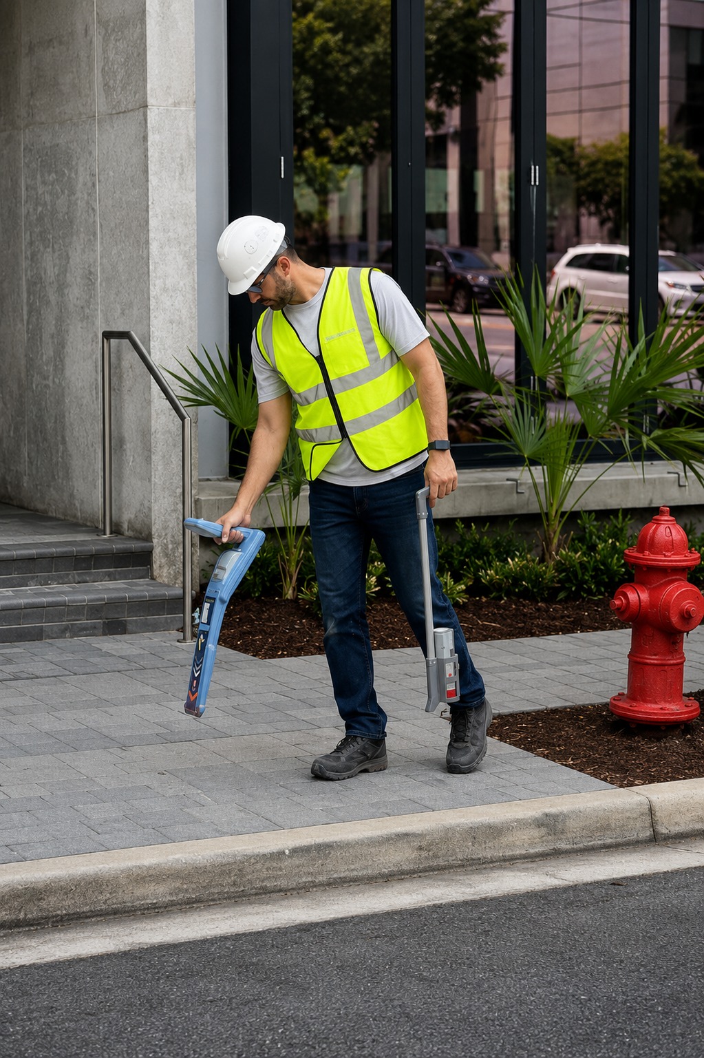
Our Utility Mapping & Locating Services help contractors, property owners, engineers, and developers identify underground infrastructure before excavation or construction begins. We provide professional Underground Utility Locating, Utility Mapping, GPR Scanning, Utility Marking, Concrete Scanning, and GPS/GIS Mapping to help create a clearer picture of subsurface conditions. These services are designed to support safer planning and reduce the risk of unexpected utility conflicts.
In Shawnee, accurate information about underground infrastructure can be essential for commercial construction, residential development, roadwork, landscaping, and infrastructure projects. Our team uses advanced locating and mapping methods to identify potential underground lines and document their approximate positions. Detailed field information can help project teams make better decisions before digging, drilling, trenching, or installing new infrastructure in Shawnee.
Whether you are planning a new construction project or working around existing infrastructure, professional Utility Locating & Mapping can provide valuable information for the planning process. Our services are tailored to the project requirements and can help identify potential underground conflicts before work begins. With accurate field data and professional documentation, contractors and project managers can approach excavation and construction with greater confidence.
Why Is Professional Utility Locating Important in Shawnee, KS?
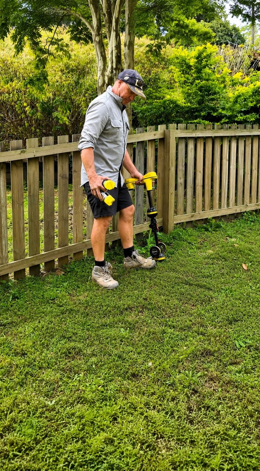
Professional Utility Locating helps identify underground infrastructure before excavation, drilling, trenching, or other ground-disturbing activities begin. Underground utility lines may include electrical, telecommunications, water, gas, sewer, and other infrastructure that is not visible from the surface. Locating these features in advance can help project teams understand potential subsurface conflicts and plan their work more effectively.
Construction projects in Shawnee can involve complex underground conditions, particularly around developed commercial properties, established neighborhoods, roads, and existing infrastructure. Professional locating services can help identify underground utilities and provide useful information for project planning. By understanding where potential utility lines are located, contractors can make more informed decisions and reduce unnecessary delays or unexpected conditions during construction in Shawnee.
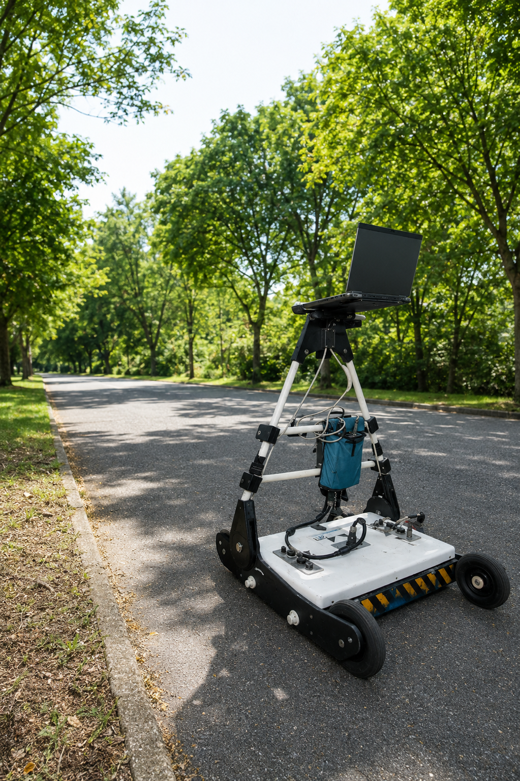
Our Utility Locating & Mapping Services combine field investigation with clear documentation to provide useful subsurface information for a wide range of projects. Depending on site conditions and project requirements, advanced detection technologies such as GPR Scanning can complement other locating methods. This approach gives project teams a more comprehensive understanding of underground conditions before construction activities begin.
When Should I Schedule Utility Mapping Services in Shawnee, KS?
Utility Mapping Services should ideally be scheduled during the planning stage of a construction or excavation project, before crews begin digging or disturbing the ground. Early investigation provides time to identify potential underground infrastructure, review site conditions, and incorporate available utility information into project planning. Scheduling these services in advance can also help reduce the possibility of unexpected utility conflicts.
For projects in Shawnee, utility mapping can be valuable before excavation, foundation work, directional drilling, trenching, site development, road improvements, and other construction activities. Existing utility records may not always provide complete or precise information about field conditions, making professional site investigation an important part of project preparation. Completing the locating process before construction starts allows project teams to work with better information throughout the project in Shawnee.
Our Underground Utility Mapping process can be adapted to the size, complexity, and objectives of the project. We can use appropriate locating and detection techniques to identify potential underground features and document relevant findings for project planning. Whether the project is commercial, residential, municipal, or infrastructure-related, arranging utility locating early can support a more organized and informed construction process.
Our Services
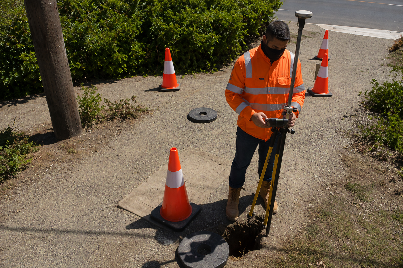
Accurate private utility locating services to detect underground lines, ensuring safety, preventing damage, and supporting smooth excavation projects.
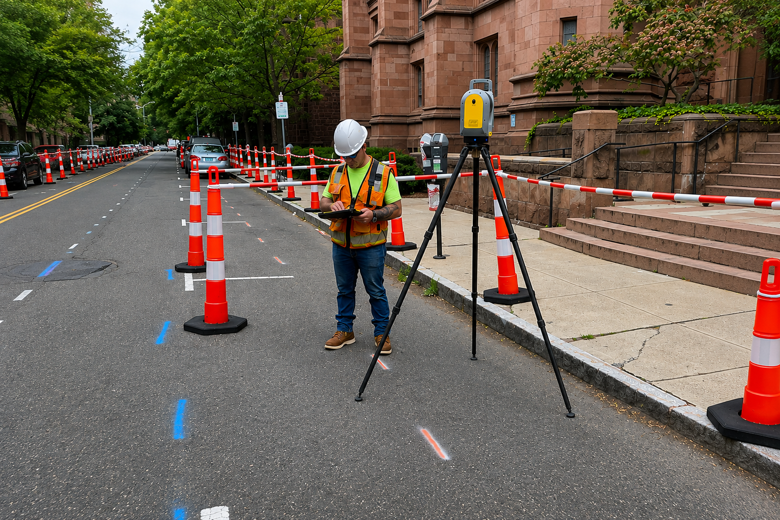
Advanced GPR scanning to locate hidden objects, utilities, and voids with high accuracy, ensuring safe drilling and cutting operations.
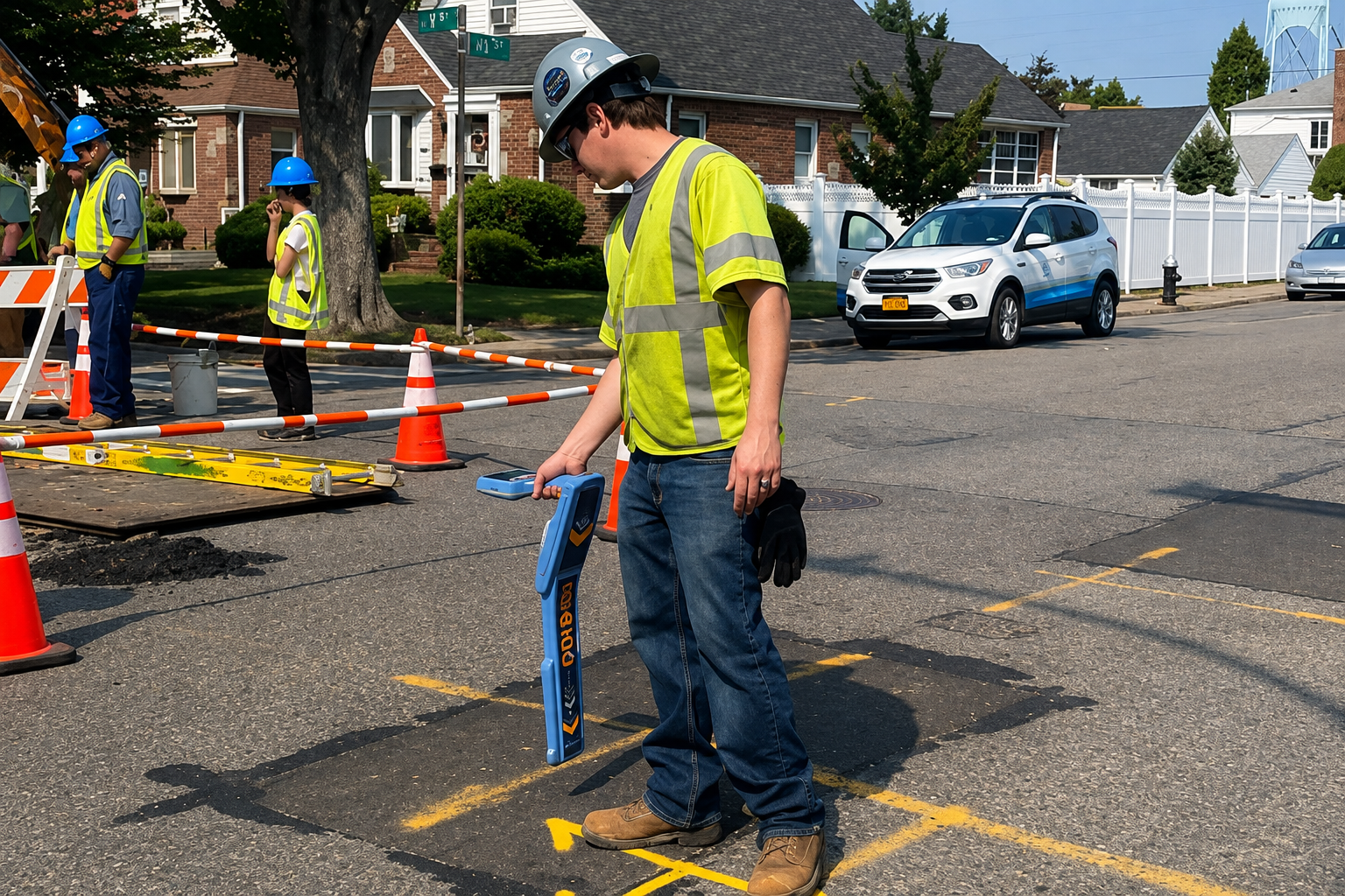
Detailed utility mapping services providing precise underground data to improve planning, reduce risks, and support efficient project execution.
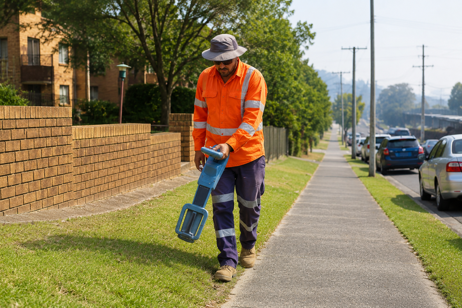
Professional concrete scanning to detect rebar, cables, and voids, ensuring safe cutting, drilling, and preventing costly structural damage.
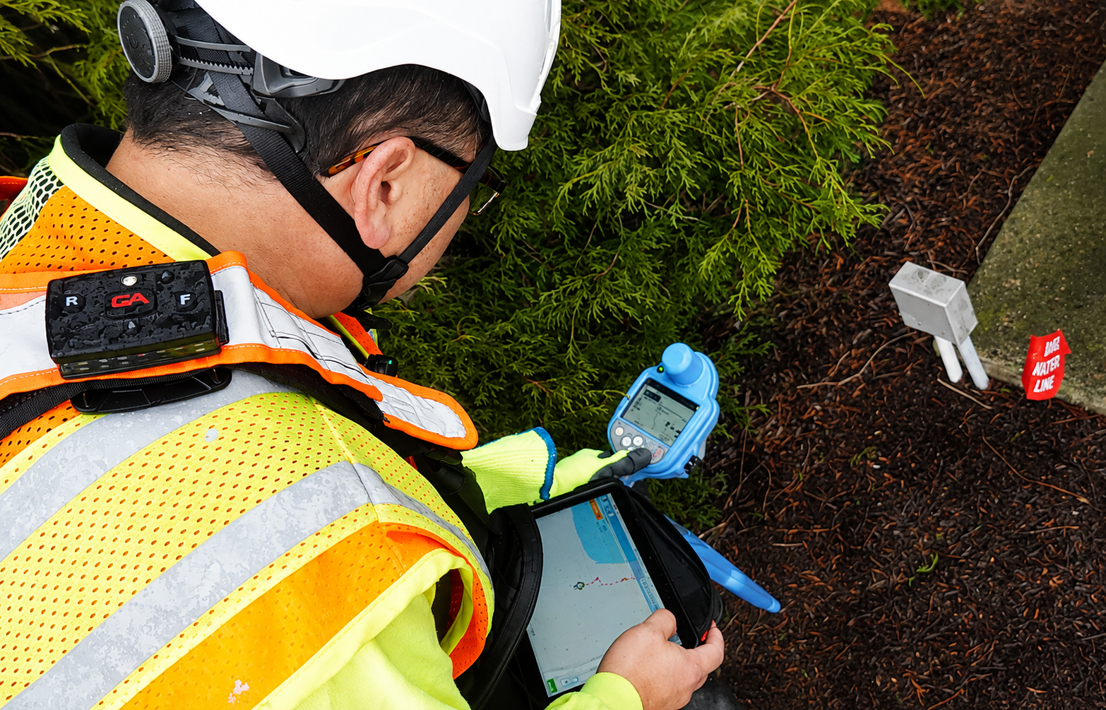
Reliable utility marking & layout services to clearly identify underground lines, improving site safety and reducing risks during excavation work.
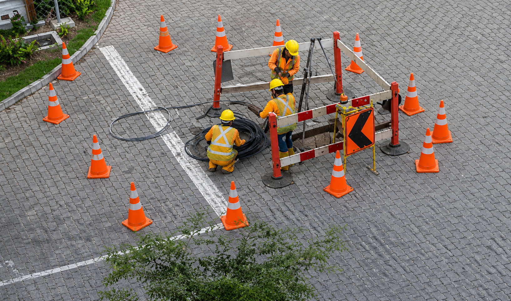
High-precision GPS & GIS mapping for accurate utility data collection, helping with asset management, planning, and long-term infrastructure safety.
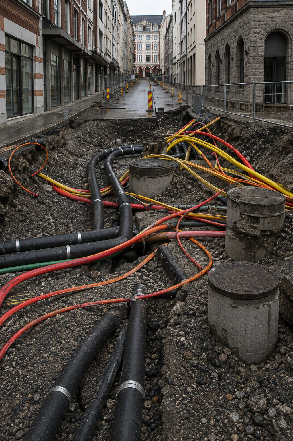
What Is Included in Utility Mapping & Locating Services in Shawnee, KS?
Our Utility Mapping & Locating Services are designed to provide project teams with useful information about potential underground infrastructure. Depending on site requirements, services may include Private Utility Locating, Utility Marking, GPR Detection, Concrete Scanning, Subsurface Utility Mapping, and GPS/GIS Mapping. Combining these services can help create a more complete representation of relevant underground conditions.
A typical project in Shawnee may require different detection methods depending on the surface, utility type, site accessibility, and construction requirements. Field technicians assess the project area and use appropriate equipment to locate and document potential underground features. Findings can then be represented through visible markings, measurements, maps, or other project documentation to help contractors and engineers understand the site in Shawnee.
Professional Utility Mapping is particularly useful when accurate subsurface information is needed for design, excavation, construction coordination, or infrastructure planning. Our approach focuses on collecting practical field information and presenting it in a way that can support project decisions. By combining locating technology with professional mapping techniques, we help provide a clearer understanding of underground conditions before ground-disturbing work begins.
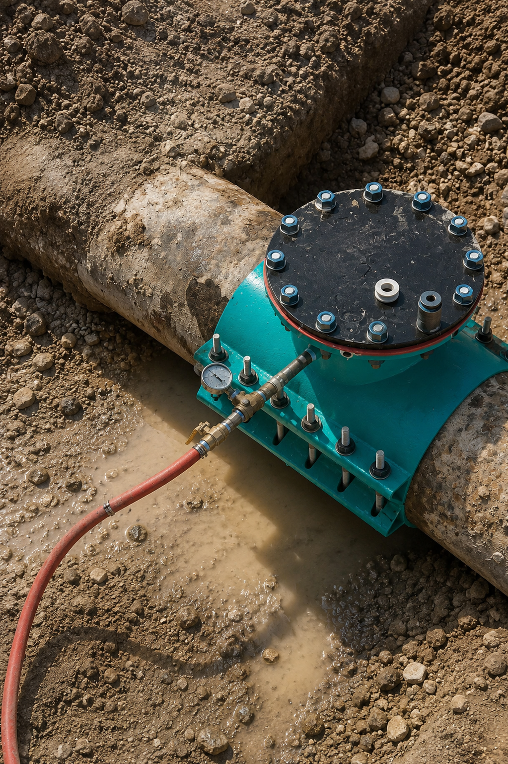
Who Can Benefit From Utility Locating & Mapping Services in Shawnee, KS?
Utility Locating & Mapping Services can benefit a wide range of professionals involved in construction, engineering, excavation, development, and infrastructure projects. General contractors, excavation companies, civil engineers, surveyors, developers, utility contractors, property owners, and project managers can use underground utility information when planning work. Accurate site information can help teams identify potential conflicts and coordinate construction activities more effectively.
In Shawnee, these services can support projects such as commercial construction, residential development, road and pavement work, infrastructure improvements, excavation, renovation, and site expansion. Professional Underground Utility Detection can provide valuable information before crews begin drilling, cutting, trenching, or excavating. Having a clearer understanding of subsurface conditions can help project stakeholders plan work around existing infrastructure in Shawnee.
Our services can be customized according to the scope and requirements of each project. From GPR Scanning and Utility Locating to detailed GPS/GIS Utility Mapping, we provide practical solutions for identifying and documenting underground infrastructure. Whether you are preparing a small excavation or a large-scale development project, professional utility mapping can provide useful information for safer and more efficient project planning.
Our Service Area?
Wichita
Overland Park
Kansas City
Olathe
Topeka
Lawrence
Shawnee
Manhattan
Lenexa
Salina
Hutchinson
Leavenworth
Leawood
Dodge City
Garden City
Derby
Emporia
Prairie Village
Junction City
Hays
Liberal
Pittsburg
Newton
Gardner
McPherson
El Dorado
Andover
Ottawa
Arkansas City
Winfield
Great Bend
Coffeyville
Atchison
Independence
Bonner Springs
Parsons
Chanute
Fort Scott
Abilene
Colby
Ulysses
Marysville
Iola
Kingman
Wellington
Holton
Hugoton
Scott City
Larned
Anthony
Goodland
Clay Center
Baxter Springs
Frontenac
Mulvane
Augusta
Paola
Roeland Park
Hesston
Valley Center
Our Reviews
What Our Customers Have to Say About Us!
Excellent service! The team was professional, on time, and extremely accurate. Highly recommend for any construction project.

Very reliable and detailed work. Their GPR scanning helped us avoid major issues on site. Great experience overall.
Top-notch utility locating service. Saved us time and money by identifying everything correctly before excavation.
The Process
Our Simple 3 Step Process

Contact Us
Start by completing the 'Get a Free Quote' form on our website to share your needs with us so we can take care of you.

Schedule Your Estimate
Next, we'll arrange a property visit at a time that works for you to provide an in-person estimate for your needs.

Get The Job Done
After you approve our estimate, we'll schedule a date to complete the job. Our team will work hard to exceed your expectations!
Request A Free Quote
BUSINESS
SERVICES
SERVICE AREAS
OPERATING HOURS
Sun: Closed
Mon: 7:00am - 7:00pm
Tue: 7:00am - 7:00pm
Wed: 7:00am - 7:00pm
Thu: 7:00am - 7:00pm
Fri: 7:00am - 7:00pm
Sat: 7:00am - 7:00pm