GPS & GIS Utility Mapping Experts
What Is GPS & GIS Utility Mapping?
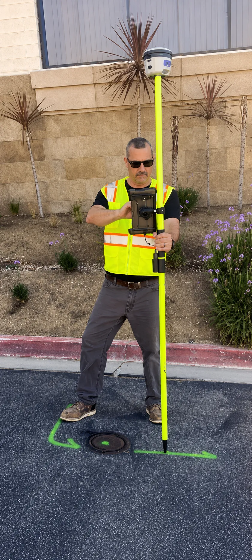
GPS & GIS Utility Mapping is the process of collecting, analyzing, and managing underground utility data using advanced Global Positioning System (GPS) and Geographic Information System (GIS) technologies. It provides highly accurate digital maps of utilities such as gas lines, water pipes, electrical systems, and communication networks.
By combining GPS data collection with powerful GIS mapping software, professionals can create detailed and interactive maps that show the exact location and attributes of underground utilities. This ensures better visibility, improved planning, and efficient management of infrastructure assets.
Using GPS & GIS utility mapping services, organizations can enhance data accuracy, streamline operations, and reduce risks associated with excavation and construction. It plays a vital role in modern infrastructure planning and long-term asset management.
When Is GPS & GIS Utility Mapping Necessary?
GPS & GIS Utility Mapping is necessary for projects that require accurate documentation and management of underground utility networks. It is commonly used in construction, engineering, and municipal planning to ensure reliable data for decision-making.
It becomes especially important when dealing with large-scale infrastructure projects, utility upgrades, or areas with outdated or incomplete records. In such cases, GPS & GIS mapping services provide updated and precise information that improves efficiency and reduces project risks.
Additionally, it is essential for maintaining utility databases, supporting asset tracking, and ensuring compliance with industry standards. By using accurate mapping data, organizations can enhance planning, reduce downtime, and improve overall project performance.
What Is Required For GPS & GIS Utility Mapping?
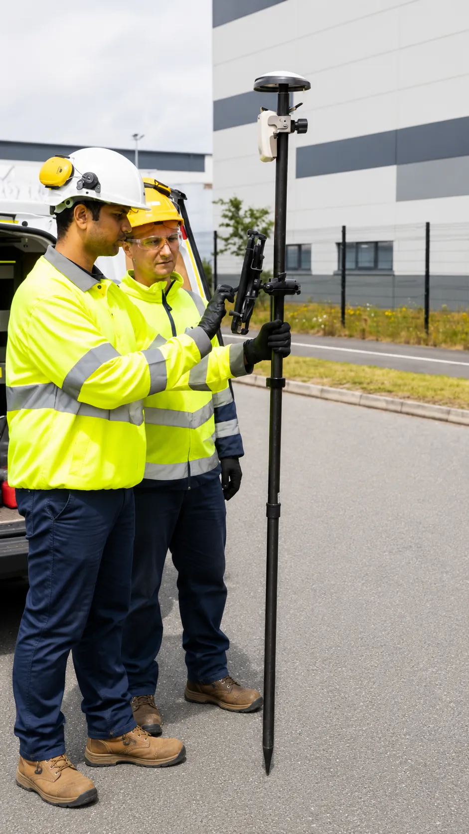
To perform GPS & GIS Utility Mapping, professionals need access to the site along with any available utility records, plans, or previous survey data. These inputs help improve the accuracy and efficiency of the mapping process.
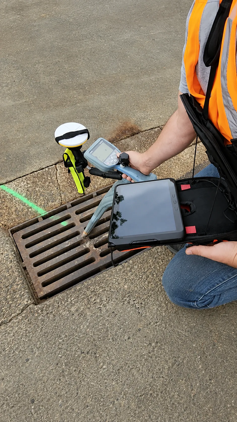
Technicians use advanced tools such as GPS receivers, data collectors, and GIS software platforms to capture and process utility information. These technologies enable high-precision mapping and provide detailed insights into underground infrastructure.
Proper site preparation, including clear access and defined mapping areas, is also essential for successful results. With the right tools and expertise, GPS & GIS utility mapping services deliver accurate data, enhance project safety, and support efficient infrastructure management.
Our Reviews
What Our Customers Have to Say About Us!
Excellent service! The team was professional, on time, and extremely accurate. Highly recommend for any construction project.

Very reliable and detailed work. Their GPR scanning helped us avoid major issues on site. Great experience overall.
Top-notch utility locating service. Saved us time and money by identifying everything correctly before excavation.
The Process
3 Step Process For Your GPS & GIS Utility Mapping Needs

Contact Us
Start by completing the 'Get a Free Quote' form on our website to share your GPS & GIS Utility Mapping needs with us.

Schedule Your Estimate
Next, we'll arrange a property visit at a time that works for you to provide an in-person estimate for your GPS & GIS Utility Mapping needs.

Get The Job Done
After you approve our estimate, we'll schedule a date to complete the job. Our team will work hard to exceed your expectations!
Request A Free GPS & GIS Utility Mapping Quote
BUSINESS
SERVICES
SERVICE AREAS
OPERATING HOURS
Sun: 7:00am - 7:00pm
Mon: 7:00am - 7:00pm
Tue: 7:00am - 7:00pm
Wed: 7:00am - 7:00pm
Thu: 7:00am - 7:00pm
Fri: 7:00am - 7:00pm
Sat: 7:00am - 7:00pm